
 |
| New bridge crossing Clear Creek |
It has been weeks since I posted, shame on me; and I also haven't hiked much in the past month due to the busy holiday season for my business, but I am grateful for that. Things are slowing down a little now that most of the holiday shopping is done and I am trying to get back into my routine of hiking (or snowshoeing) each week.
This weekend, Josh and I went on a short hike just inside Clear Creek Canyon at a new Jefferson County Open Space called the Grant Terry Park. The park was constructed when the new pedestrian bridge was built across Clear Creek Canyon giving access to the east side of the river. The area then was made into a park with access to the river, and some trails on the west side of Lookout Mountain.
Getting there: The parking lot for this trail that we used is just into Clear Creek Canyon on Hwy 6; it's just after the Hwy 6 and Hwy 93 intersection. Click here for the google map and to input your own directions. The parking lot can get full on the weekends quickly, there is additional parking across the street, but not much. From the parking lot, it's a little tricky to get to the trails below. We found our way down a concrete drainage ditch, which sounds worse than it was, to the trails and river below.
 |
| South Table Mtn in distance |
Eventually we walked back to where we started and found another trail that continued steeply up the mountainside. This trail actually lead us to the main trail that I had been looking for, and from there we hiked east on the trail into the canyon, which offered views of the river and highway below and the Clear Creek Canyon mountainside. The trail eventually comes to a drainage ditch, and you can walk on the concrete above, or in the ditch itself. When the concrete ends watch for a trail to climb out of the ditch and continue on a trail until the next drainage.
 |
| Looking down on the river below |
We continued on this trail through 3 of the drainage ditches and then turned around and went back the way we came, it was time for us to meet friends for dinner and getting dark. When we reached the steep trail we came up on, we passed it, and continued down the main trail which took us down the mountain much more gradually. We had to double back to the bridge, but it was not far and much easier.
I'll definitely be back to check out the rest of the trail and see how far it goes into the canyon.
View Larger Map

 |
| Rock Climbing walls with hooks bolted into the mountain |
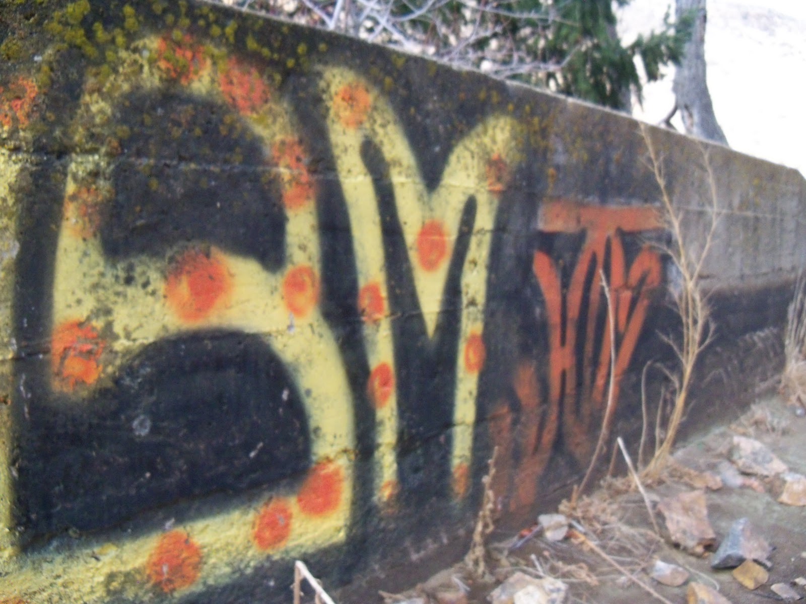
Inside of the drainage ditch, some graffiti (art). Look over the 4ft wall and see the river below.

Belle looking out one of the 'windows' in the drainage ditch. Cute!
No comments:
Post a Comment